• Hike Camelback
    • About
    • Contact
  • Trailheads
    • Camelback Mountain Parking
    • Phoenix Metropolitan Area Hikes
    • Arizona Hiking Safety Tips
    • Camelback Mountain Wildlife
  • Neighborhood
  • Community
    • Submit Hiking Time
    • Submit a Shoutout
    • Shoutouts Archive
  • History
    • Camelback Mountain News and Updates
    • Camelback Mountain Plans and Renovations
  • Tales
  Hike Camelback

Phoenix Metropolitan Area Hikes

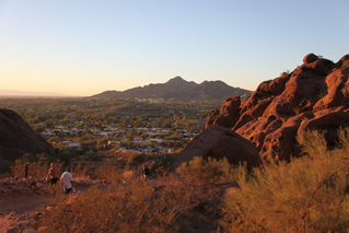
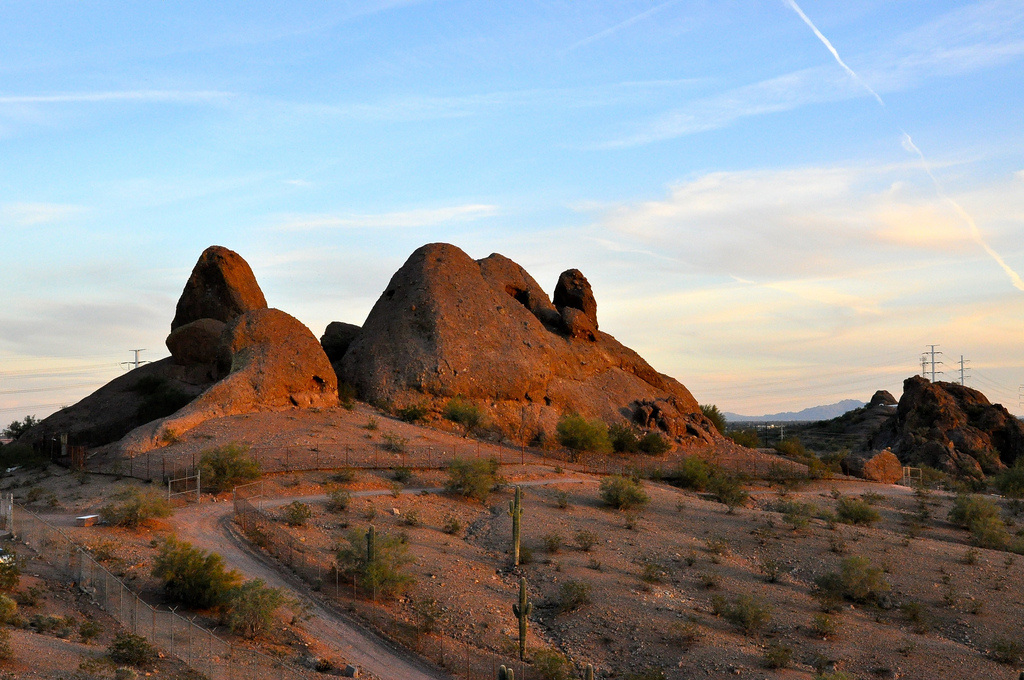
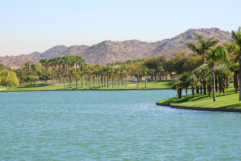
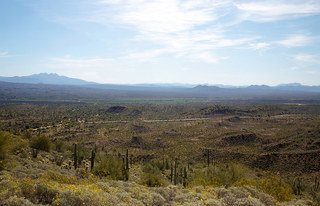
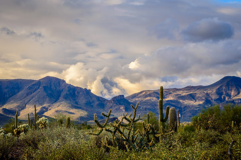
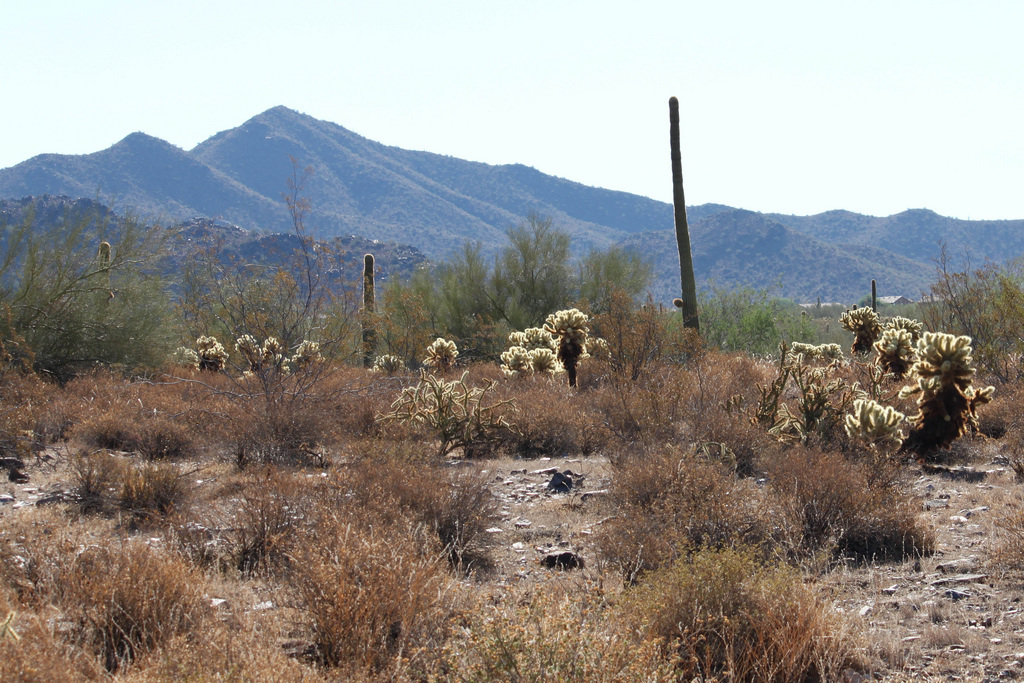
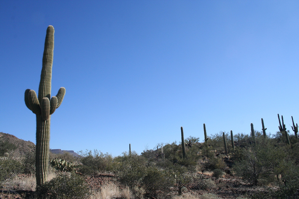
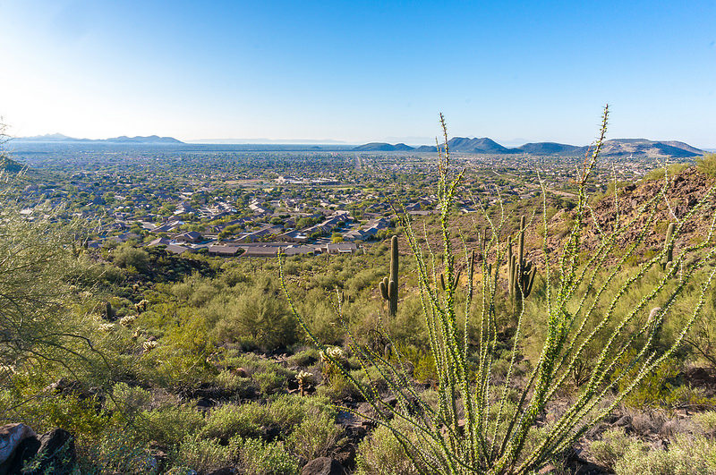
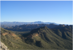
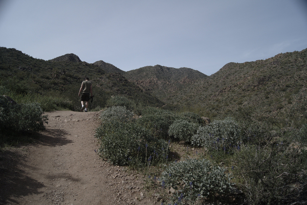
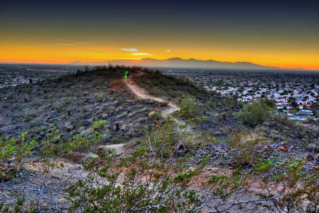
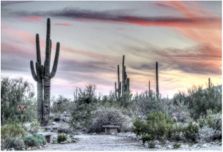
Cholla Trail Temporarily Closed - Summer 2020

Camelback Mountain Cholla Trail is temporarily closed. The City of Phoenix is actively monitoring the base of the trail, permitting hikers of any capability or residence from hiking. Check out these beautiful valley hikes this summer instead!
HIKE CAMELBACK SUPPORTS HIKING SEASON OCTOBER - APRIL. IF YOU CHOOSE TO HIKE IN ARIZONA'S SUMMER MONTHS, PACK PLENTY OF WATER, HIKE EARLY IN THE AM AND IN THE EVENING BEFORE SUNSET. AVOID MID-DAY HOURS. TAKE BREAKS. HIKE SMART.
​

Other Hikes

If we haven’t stressed the point sufficiently, Camelback Mountain is a difficult hike. Even the physically fit find themselves winded, sore and needing more water than expected on this trek.
 
There are over 300 rescues every year on Camelback, please don’t let yourself be one of them!
 

The Sonoran Desert is home to immense natural beauty and dozens (hundreds, actually) of beautiful trails to summit, many within just miles of the Camelback base. Some compare to Camelback in difficulty if you are looking for a similar challenge. Others provide opportunity for more leisurely strolls and unique viewpoints.
 
We’ve got some details for you on these other hikes below. Use them if you are not up for hiking Camelback today or if the mountain looks too busy. You won’t regret it! Like we said, the metropolitan area trails are dressed well in beauty.
 
Please note that most of these ridges are home to several trails that range in difficulty. We’ve done our best to give you the average summation of their offerings, but be sure to visit their home pages for more info! Camelback in describe for a point of reference, and the hikes are listed by the least to greatest level of difficulty thereafter. 
 
Thanks, hikers! Be smart, carry water and hike on.

Picture

Camelback Mountain

Mountain: Camelback Mountain
Location: Invergordon Road and Chaparral Road
Number of Trails: 2
Average Difficulty: Difficult
Mile Range: 1.2 – 1.5
Biking*: No
Horses*: No
Dogs*: No
ADA Compliant*: No
*Visit website to confirm specific trail allowances
Trails
Directions

Picture

Papago Park

Mountain: Papago Park
Location: Mill Avenue and Van Buren Street
Number of Trails: 8
Average Difficulty: Easy
Mile Range: .5 – 2.7
Biking*: Yes
Horses*: Yes
Dogs*: Yes
ADA Compliant*: Yes
*Visit website to confirm specific trail allowances
Website
Directions

Picture

Phoenix Mountain Preserve

Mountain: Phoenix Mountain Preserve
Location: 7th Street and E Thunderbird Avenue
Number of Trails: 16
Average Difficulty: Easy/Moderate
Mile Range: .4 – 10.7
Biking*: Yes
Horses*: Yes
Dogs*: Yes
ADA Compliant*: No
*Visit website to confirm specific trail allowances
Website
Directions

Picture

Estrella Mountain Regional Park

Mountain: Estrella Mountain Regional Park
Location: Estrella Parkway and Vieyard Avenue
Number of Trails: 9
Average Difficulty: Easy/Moderate
Mile Range: .9 – 3.9
Biking*: Yes
Horses*: Yes
Dogs*: Yes
ADA Compliant*: No
*Visit website to confirm specific trail allowances
Website  
Directions
​
Picture

McDowell Mountain 

Mountain: McDowell Mountain Regional Park
Location: McDowell Mountain Road and McDowell Mountain Park Drive
Number of Trails: 17
Average Difficulty: Easy/Moderate
Mile Range: .5 – 15.3
Biking*: Yes
Horses*: Yes
Dogs*: Yes
ADA Compliant*: No
*Visit website to confirm specific trail allowances
Website
Directions
​
Picture

Cave Creek Regional Park

Mountain: Cave Creek Regional Park
Location: 32nd Street and Carefree Highway
Number of Trails: 5
Average Difficulty: Moderate
Mile Range: 1.4 – 5.8
Biking*: Yes
Horses*: Yes
Dogs*: Yes
ADA Compliant*: No
*Visit website to confirm specific trail allowances
Website  
Directions
Picture

Phoenix Sonoran Preserve

Mountain: Phoenix Sonoran Preserve
Location: W Jomax Road and N North Valley Parkway
Number of Trails: 11
Average Difficulty: Moderate
Mile Range: .2 – 6.98
Biking*: Yes
Horses*: Yes
Dogs*: Yes
ADA Compliant*: Yes
*Visit website to confirm specific trail allowances
Website  
Directions
​
Picture

Piestewa Peak (Squaw Peak)

Mountain: Piestewa Peak (Squaw Peak)
Location: 16th Street and Lincoln
Number of Trails: 8
Average Difficulty: Moderate (some E.D.)
Mile Range: .4 - 4.8
Biking*: Yes
Horses*: Yes
Dogs*: Yes
ADA Compliant*: No
*Visit website to confirm specific trail allowances
Website  
Directions
​
Picture

Spur Cross Ranch Conservation

Mountain: Spur Cross Ranch Conservation Area
Location: Cave Creek Road and Spur Cross Road
Number of Trails: 6
Average Difficulty: Moderate
Mile Range: .2 – 5.2
Biking*: Yes
Horses*: Yes
Dogs*: Yes
ADA Compliant*: No
*Visit website to confirm specific trail allowances
Website
Directions
​
Picture

Deem Hills

Mountain: Deem Hills
Location: 51st Avenue and Deem Hills Parkway
Number of Trails: 4
Average Difficulty:  Moderate
Mile Range: .64 – 5.73
Biking*: Yes
Horses*: Yes
Dogs*: Yes
ADA Compliant*: No
*Visit website to confirm specific trail allowances
Website  
Directions
Picture

Usery Mountain Regional Park

Mountain: Usery Mountain Regional Park
Location: Ellsworth Road ad McDowell Road
Number of Trails: 15
Average Difficulty: Moderate
Mile Range: .3 – 3.8
Biking*: Yes
Horses*: Yes
Dogs*: Yes
ADA Compliant*: No
*Visit website to confirm specific trail allowances
Website 
Directions
​
Picture

McDowell Sonoran Preserve

Location: 128th Street and Cactus Road. See website for all trailheads
Number of Trails: 10
Average Difficulty: Moderate (difficulty ranges heavily, see website)
Mile Range: See website
Biking*: Yes
Horses*: Yes
Dogs*: Yes
ADA Compliant*: Yes
*Visit website to confirm specific trail allowances
Website  
Directions
​
Picture

Thunderbird Conservation Park

Mountain: Thunderbird Conservation Park
Location: 59th Avenue and W Pinnacle Peak Road
Number of Trails: 5
Average Difficulty: Moderate/Difficult
Mile Range: .75 - 6
Biking*: Yes
Horses*: Yes
Dogs*: Yes
ADA Compliant*: No
*Visit website to confirm specific trail allowances
Website  
Directions
​
Picture

White Tank Mountain

Mountain: White Tank Mountain Regional Park
Location: Olive Avenue and Citrus Road
Number of Trails: 9
Average Difficulty: Moderate (difficulty ranges heavily, see website)
Mile Range: .2 – 7.4
Biking*: Yes
Horses*: Yes
Dogs*: Yes
ADA Compliant*: Yes
*Visit website to confirm specific trail allowances
Website 
Directions
​
Picture

Pinnacle Peak

Mountain: Pinnacle Peak
Location: E Jomax Road and N Alma School Road
Number of Trails: 1
Average Difficulty: Moderate/Difficult
Mile Range: 1.75
Biking*: No
Horses*: No
Dogs*: No
ADA Compliant*: No
*Visit website to confirm specific trail allowances
Website 
Directions

Love a trail you'd like others to know about? Drop us a line!

Include this trail!


Camelback Mountain Hikers

Camelback Hiking Trails
Camelback Parking
Camelback Hiking Safety
Camelback New & Updates
Hike Camelback Apparel

About Hike Camelback

The Company
The Mountain
Home

Support

Contact
© COPYRIGHT 2015 HIKE CAMELBACK LLC. ALL RIGHTS RESERVED.
Photos used under Creative Commons from bionicteaching, _tar0_, Al_HikesAZ, j.arsenault, Claire Y. Martin, juliana swenson, Dru Bloomfield - At Home in Scottsdale, Tyler J. Bolken, cogdogblog, shoebox27, neepster, vaxomatic, Arizona Parrot, George (Patti) Larcher (333K Views - Thank you!), ccharmon
  • Hike Camelback
    • About
    • Contact
  • Trailheads
    • Camelback Mountain Parking
    • Phoenix Metropolitan Area Hikes
    • Arizona Hiking Safety Tips
    • Camelback Mountain Wildlife
  • Neighborhood
  • Community
    • Submit Hiking Time
    • Submit a Shoutout
    • Shoutouts Archive
  • History
    • Camelback Mountain News and Updates
    • Camelback Mountain Plans and Renovations
  • Tales